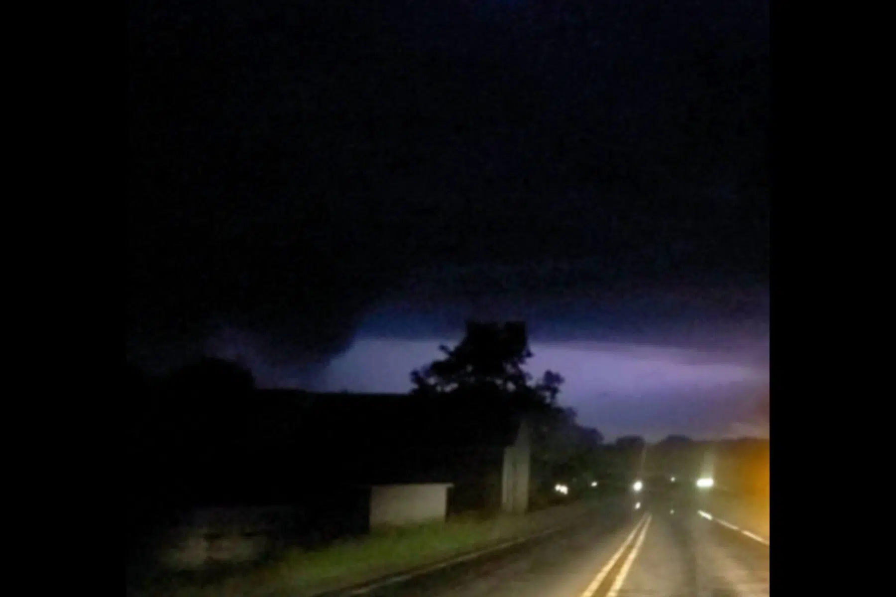
COLDWATER, MI (WKZO AM/FM) — No injuries have been reported, but widespread damage across southwest Michigan was caused by two rounds of storms during a severe weather outbreak last night and early today, including at least one confirmed tornado.
The first line of storms moved through areas along the I-94 corridor and south to the Michigan/Indiana border Sunday evening and produced a confirmed twister in Branch County. The warning was issued at around 9:45 after a trained weather spotter saw a tornado near Coldwater. There are no reports of any injuries at this time from the twister, but damage to homes and properties and dozens of downed trees and power lines have been confirmed.
A tree fell on a house in Kalamazoo County during the first storm. One person was trapped in the home near Paw Paw Lake in Texas Township, but firefighters were able to rescue them.
At around 1:00 a.m., the second round of dangerous storms arrived, mostly in the same southern tier counties. These storms also led to several weather alerts including multiple tornado warnings in Cass, Branch, St. Joseph, and Van Buren counties. No confirmed tornado touchdowns have been determined at this time. Weather officials will be out today to survey the damage and determine if there were additional twisters.
At least 30,000 power outages have been reported in southwest Michigan counties and tens of thousands remain without electricity this morning. By around 4:00 a.m., the worst of the storms moved off toward eastern Michigan.
We will continue to provide updates from investigations into destruction from these storms as they become available today.


Comments