KALAMAZOO, MI (WKZO AM/FM) – The National Weather Service (NWS) has issued a Winter Storm Warning for various parts of Southwest Michigan, including the Kalamazoo County area.
According to NWS, steady snow is expected to arrive this evening, and the areas most likely to be affected will be along the I-94 corridor and part of the Lansing area. Those traveling in the area during that time are the most likely to be affected by negative weather conditions.
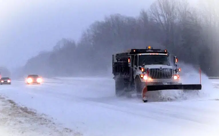
Officials say to expect slick and snow-covered roads, as well as periods of low visibility. Residents should also expect wind gusts up to 35 MPH, which will blow snow over already-cleared roads.
Snow rates may exceed more than an inch for several hours in the Kalamazoo area, which is currently expecting between six and eight inches of snow.
Wind chills late tonight and Tuesday morning will fall to between -10 and -15, so residents that will be outside must bundle up.
In case of an accident or vehicle breakdown, drivers should pack warm clothes and blankets in their vehicles.
The advisory will be in place until 12:00 p.m. Tuesday, but snow levels may accumulate again.
Meanwhile, any residents traveling by car are advised to slow down and drive more carefully, in addition to making extra time for travel between destinations.
Earlier on Monday, the Michigan State Police (MSP) issued a reminder to slow down in snowy conditions after one of their own cruisers was involved in a crash.
Following that announcement, Troopers published a reminder for basic safety tips on their Twitter page. That post can be viewed below:
More snow is expected across the state tonight. If you must drive, you know the drill:
•#Driveslow on ice & snow
•Leave extra space between you & the car in front of you
•Clear all snow from car before driving
•Allow more time to reach your destination
•Don’t crowd snowplows pic.twitter.com/KoUKpKWYRj— Michigan State Police (@MichStatePolice) February 15, 2021


Comments