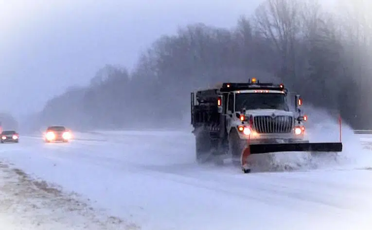
KALAMAZOO, MI (WKZO AM/FM) – On the day Punxsutawney Phil saw his shadow and predicted six more weeks of winter, heavy snowfall began pelting most of southern lower Michigan and many parts of the nation.
The National Weather Service says the heaviest snow is expected along and south of the I-94 corridor, including Barry, Calhoun, Jackson, Kalamazoo, and Van Buren counties, with 8 to 12 inches of snow forecasted. Areas north will also see a good amount of snow, with 2 to 6 inches expected through Thursday night.
A Winter Storm Warning remains in effect until 7:00 p.m. Thursday.
In Kalamazoo County, dispatchers said they received at least a dozen calls related to the weather, from slide-offs to crashes.
WOOD-TV reported shortly before 12:00 p.m. Wednesday, Ottawa County dispatchers said I-96 was closed from the M-231 off-ramp to the Coopersville exit due to a serious crash at mile marker 15. Michigan State Police said the crash was deadly but did not release any additional information.
Citing the poor weather, Battle Creek Transit started detouring buses on Wednesday morning, keeping them on the main roads.
Kalamazoo County offices and Kalamazoo City Hall were both closed Wednesday. The City of Battle Creek along with the City of Marshall issued Snow Emergencies.


Comments