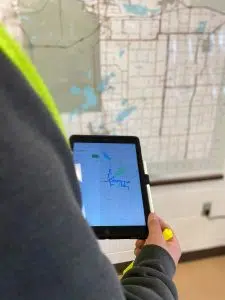
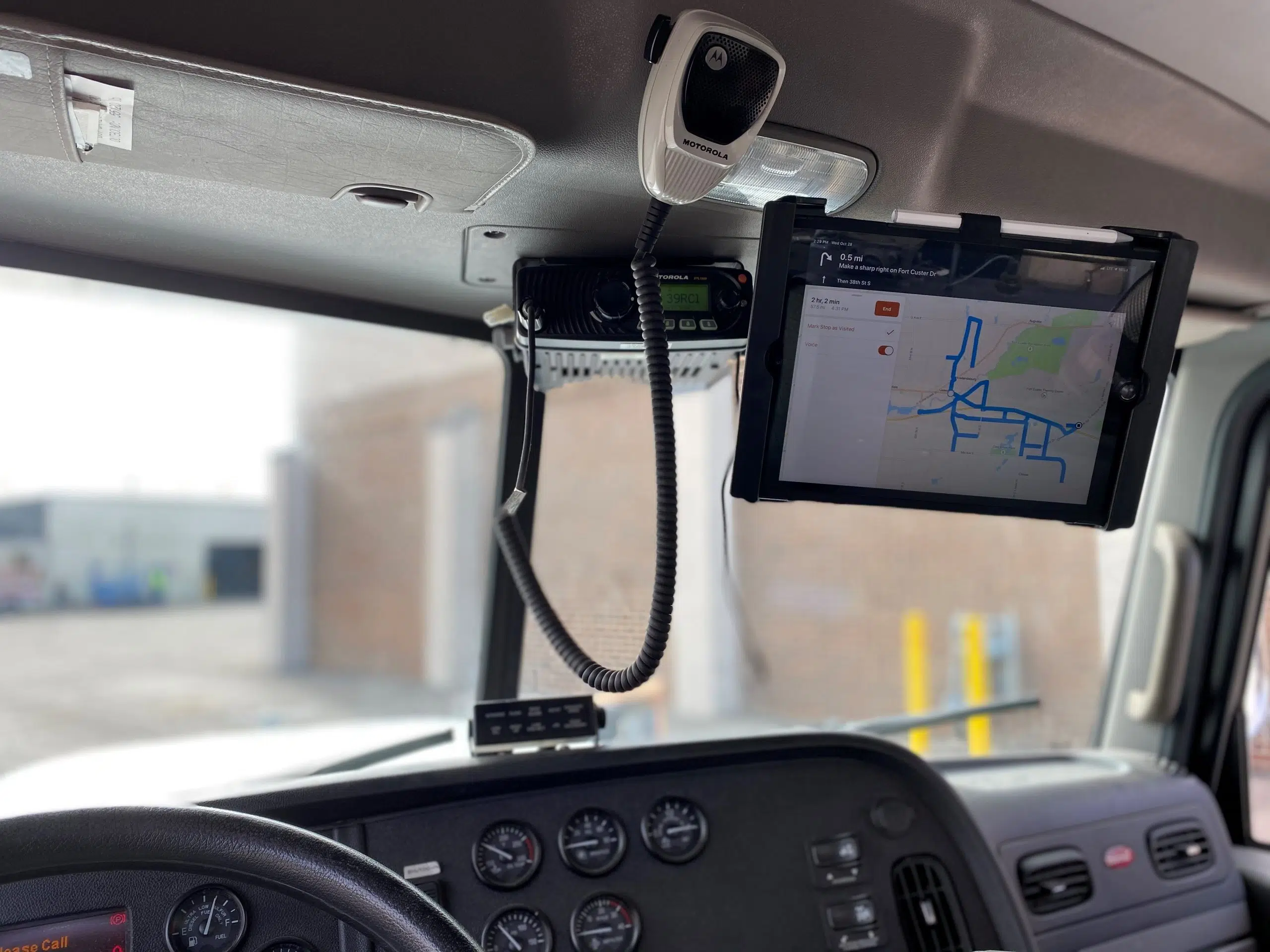
KALAMAZOO COUNTY, MI (WKZO AM/FM) — The Road Maintenance Operators at the Road Commission of Kalamazoo County (RCKC) will have a new tool to help keep the roads safe this winter – an iPad.
Monday, the RCKC announced the launch of a pilot program that has turned nearly 90 snow routes into a turn-by-turn navigated map.

The RCKC will be utilizing iPad’s for winter maintenance services. (Photo courtesy of the Road Commission of Kalamazoo County).
Officials say this is not the same Global Positioning Systems (GPS) system which it has used for years to monitor its winter maintenance operations through a storm. Rather, this new program uses both Geographic Information Systems (GIS) and (GPS) programs to have maps and routes curated specifically for the RCKC.
The RCKC worked with Wightman, a full-service consulting agency, to develop the new program starting back in December of 2019. Officials say this new tool will improve efficiencies for training new Road Maintenance Operators, or for team members not familiar with a different winter maintenance area.
“I think the most challenging part of the process was the sheer volume of snowplow routes to convert from old paper maps to a digital form,” GIS Manager with Wightman’s Kalamazoo office Ryan Miller said in a statement.
With 104 mapped routes, officials say it equals out to be approximately 3041.5 miles – the same as driving from Kalamazoo to Salt Lake City, UT and back.
Some other interesting statistics from the snow routes are the number of turns involved. Across all of the routes, there are 3,624 right turns, 661 left turns, and 1,648 U-turns programmed.
Road Maintenance Operators were training on the new iPad tool and program during the annual winter maintenance training in November. The 2020-2021 winter season will be the first time deploying the technology in real-time.
Officials add that the RCKC appears to be the first across Michigan to be integrating technology in this way for winter maintenance operations.


Comments